Using Drones to Inspect Bridges
We can use drones in a variety of ways – inspecting bridges with drones is faster, more accurate, cheaper and clearly safer.
Aims of the project:
- To inspect the bridge structure using drones and other technology.
- To reduce the time and financial complexity of the inspection, revision.
- To increase the safety of the inspection, revision.
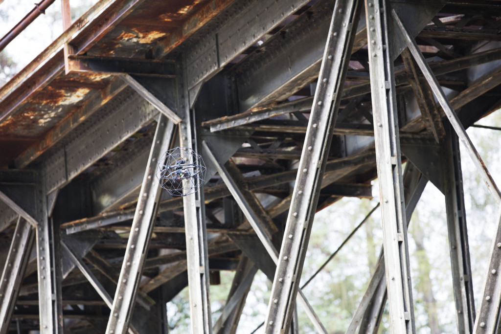
- To provide visual documentation in areas that are difficult to access or inaccessible during a conventional inspection.
Results of the project:
Within the pilot project (bridges of the Regional Directorate of Transport – bridges with first class roads, motorways, bridges with construction in water works) we have verified the usefulness of this technique. Its use results in a significant reduction in time. For example, the field inspection of the Lochkovsky Bridge was reduced from 4 days to 1 day, which also has an unquantified (positive) impact in terms of traffic reduction on the inspected bridge. The financial saving (without quantifying the impact of the restriction) is about 40 % compared to the conventional inspection method.
Other positive impacts are:
- Reduction of risks to human health, life = risky, hard to reach places are controlled by drones,
- Documentation in inaccessible places.
A separate area is working with data. We have developed the INSPEKTOR application, in which we create a digital twin of the bridge, to which the photo documentation is linked (the photos are linked to the bridge model – the place where they were photographed, the place from which they were photographed, etc.). This allows the inspectors to view specific areas without the need to manually go through dozens/hundreds of photos. They can run the polygon measurement tool/function over the photos. For example, they can measure cracks to within a tenth of a millimetre. In this way, when repeated inspections are carried out, the development over time can be monitored.
Currently, these technologies and procedures are used to inspect bridge structures for the City of Pilsen, SŽDC, SÚSPK and others.
CZ VIDEO
EN VIDEO
Další projekty
Electronic Citizen’s Portal
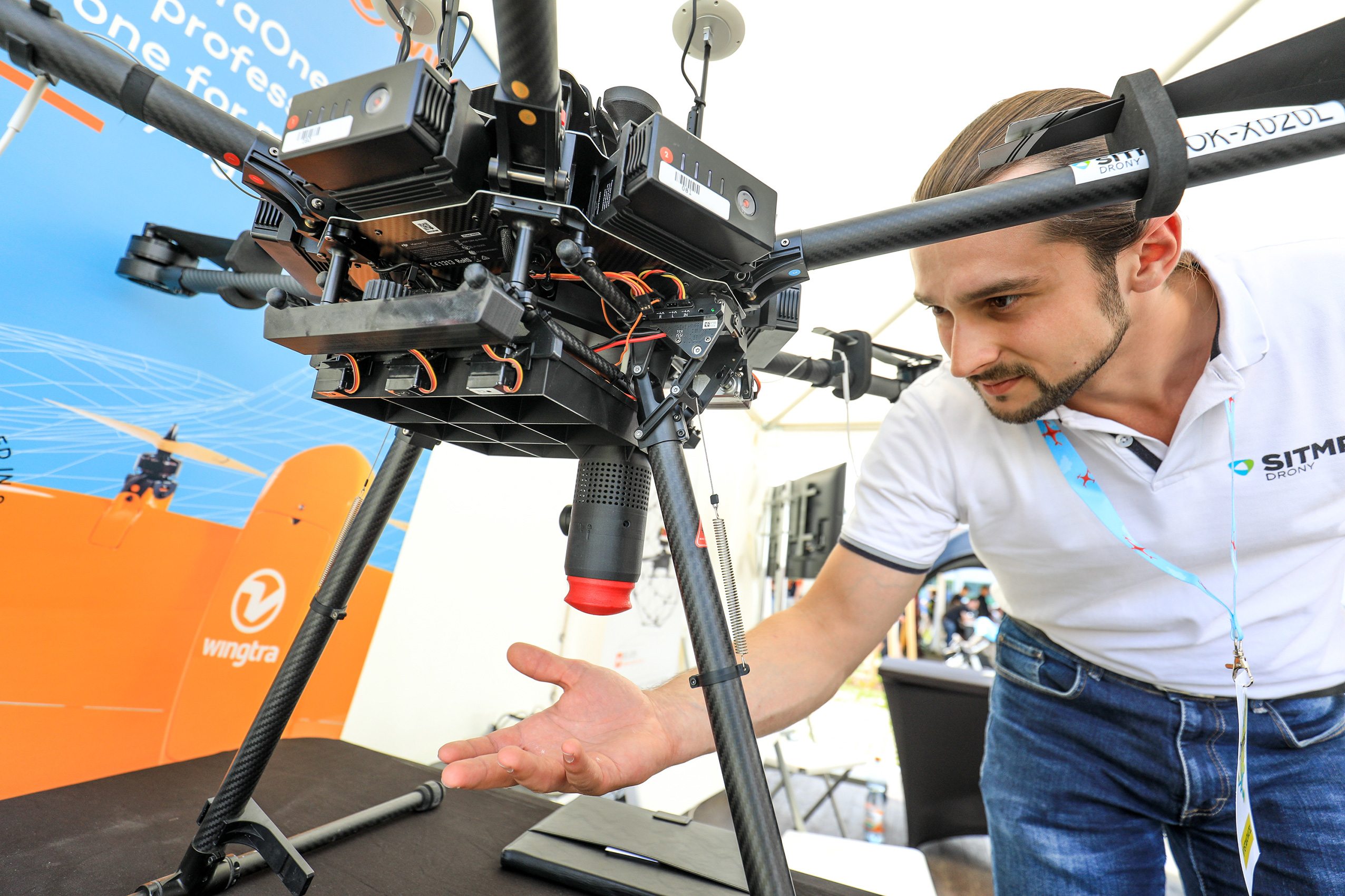
Drone for Fire and Rescue Service
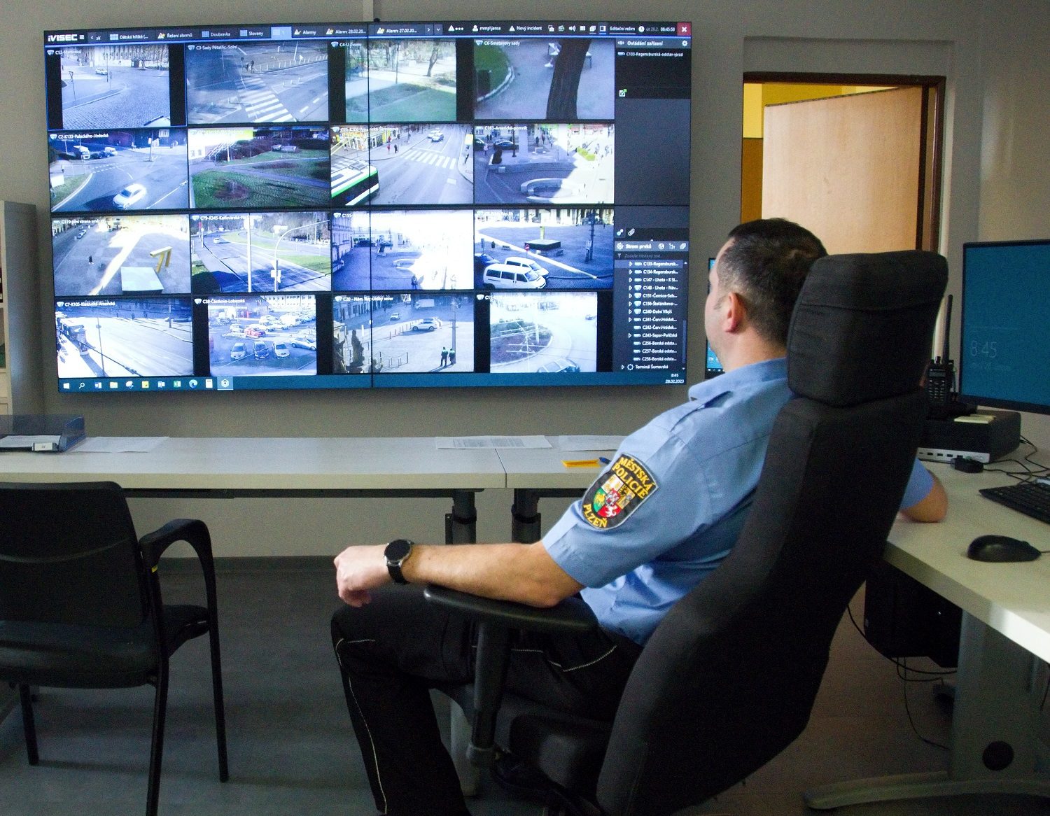
Modern Security Systems for Pilsen Municipal Police