Interactive Map of Investment Projects
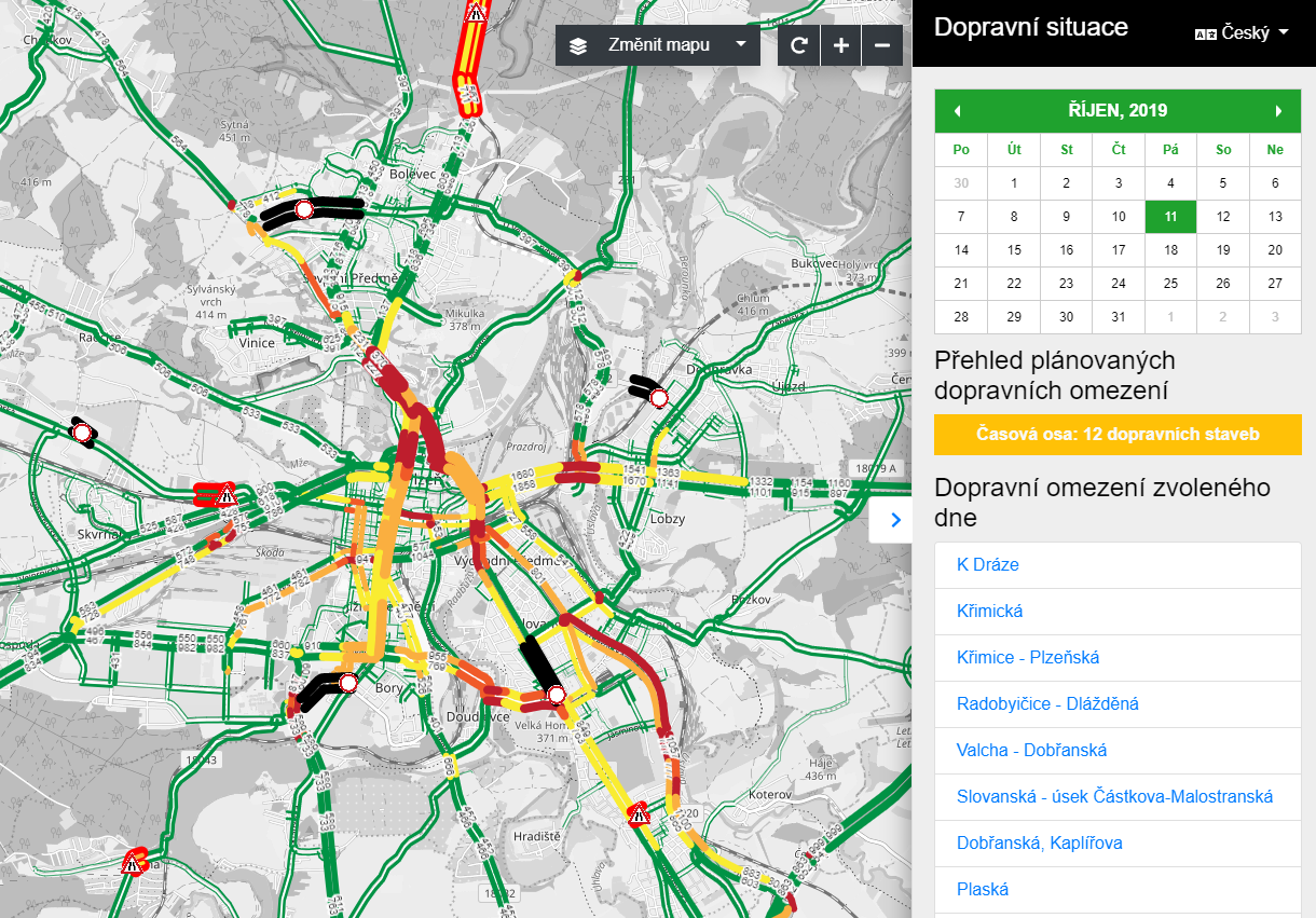
In order to provide citizens with a better overview of the city’s investment activities in their district, our GIS department created a so-called dashboard, i.e. a completely new interactive map of investment projects. It is connected to the Superdio Traffic Engineering, which the City of Pilsen has been using since 2016. Pilsen’s citizens will be better informed about investments in transport infrastructure, public spaces, the environment, public buildings, sports and leisure activities. The municipality will also strengthen its communication with its citizens. The project was initiated by the Fourth Municipal District.
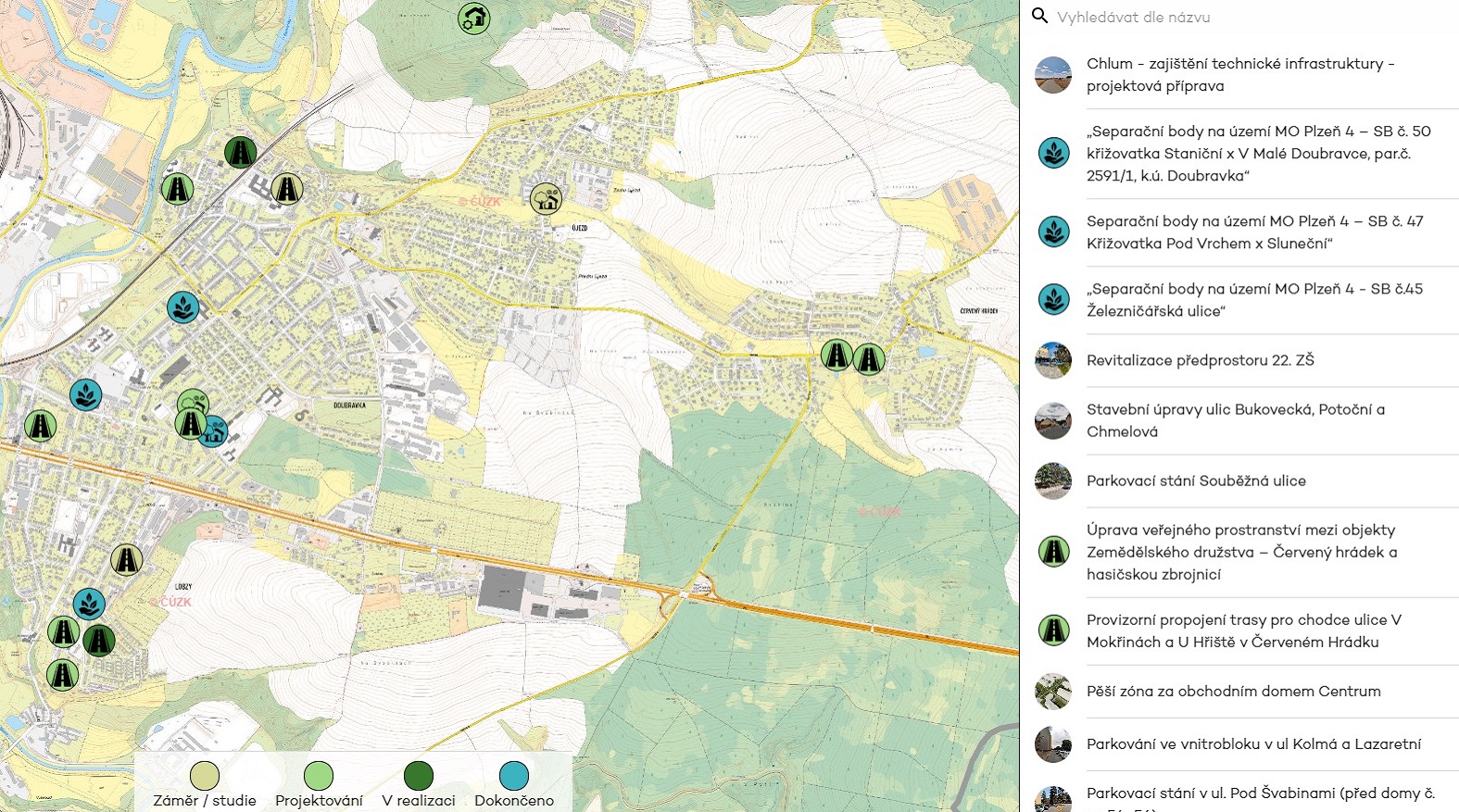
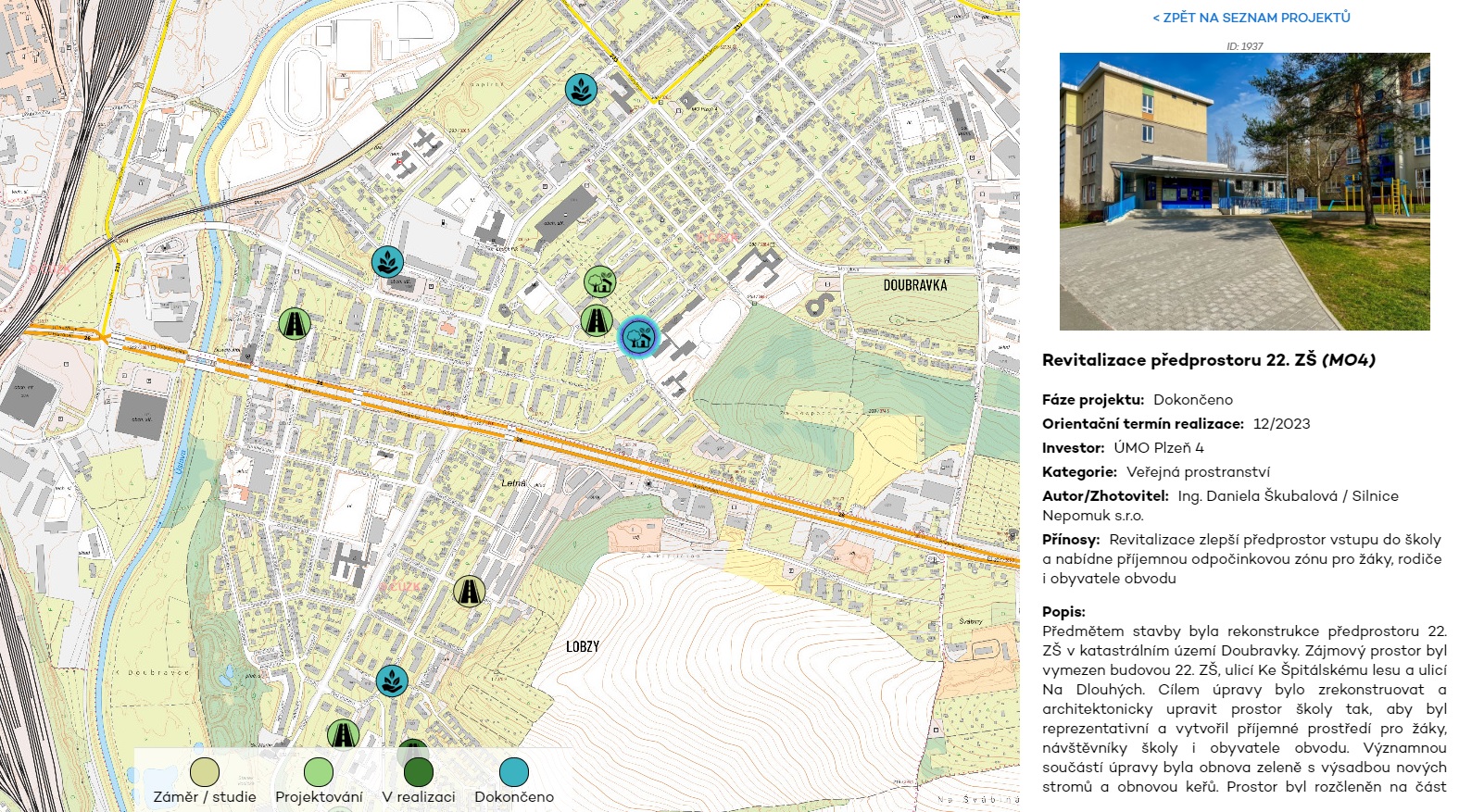
The Map of Investment Projects provides an overview of the actions being undertaken by the city district. It shows the current investments, from the plan or study to the completed projects. We have differentiated the different phases by colour. There is a description of the project, the date of implementation, the name of the contractor or author of the study, the amount of investment and a photo of the project. The data are being constantly updated.
Aims of the project:
- To increase the transparency and digitalisation of the Office.
- To promote communication with citizens.
- To increase the interest of citizens in the city’s investment projects.
- To improve work efficiency and project management.
Results of the project:
- To create an interactive map providing better visibility of investments.
- Colour resolution for planned, ongoing and completed activities.
- To leverage of existing data infrastructure and link it to Superdio.
The interactive map of investment activities helps to raise citizens’ awareness, to increase their interest in what is happening in the district and to involve them in various forms of co-decision making. Citizen participation and openness of the municipality is the direction Pilsen as a smart city decided to follow years ago.
Other projects
Traffic Intensity Visualization – a HORIZON 2020 Project
Pilsen as a member of the Horizon Europe Project CLIMABOROUGH

Docking Stations for IRS Cameras